Agro API
Agro API

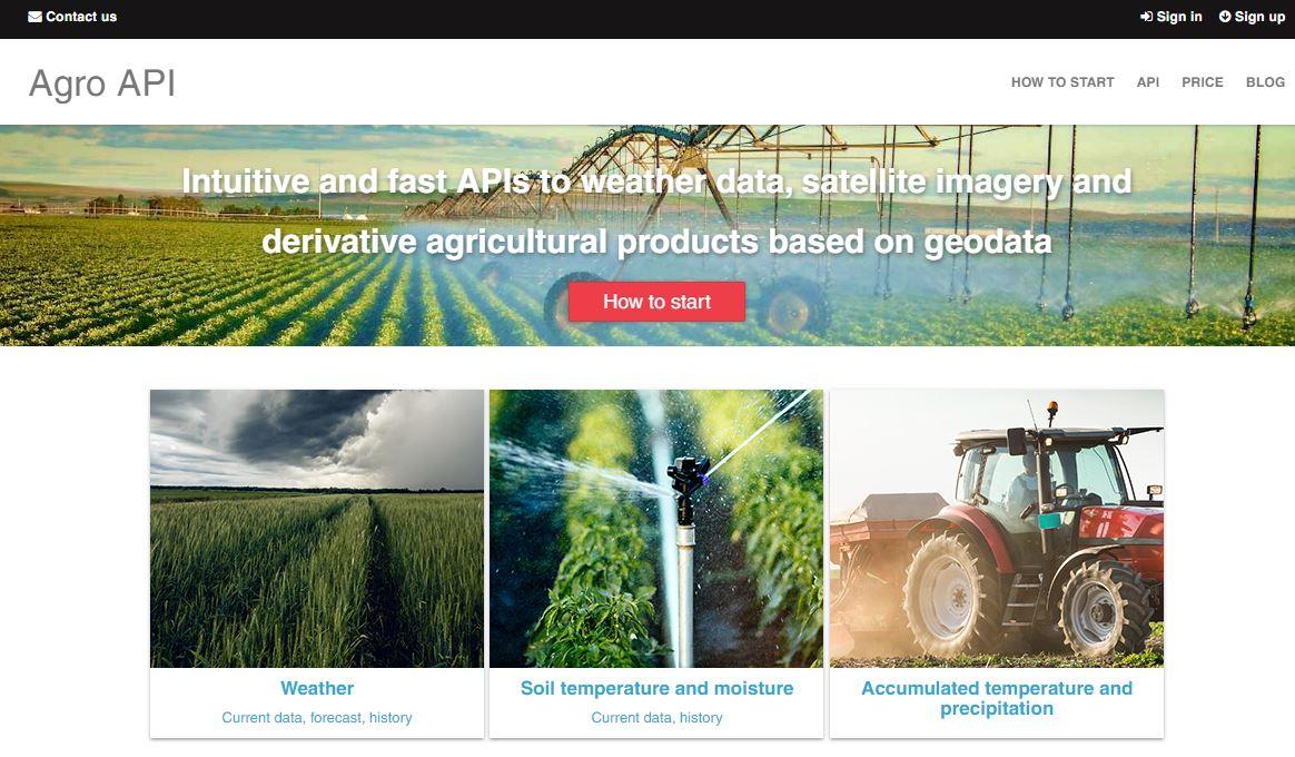
It is a set of intuitive and fast APIs to weather data, satellite imagery and derivative agricultural products based on geodata. You can easily power your application with a combination of satellite and weather data, and your users benefit from detailed information about their farmland conditions.
We have particular APIs for each data area such as API to weather, API to accumulated temperature, API to satellite imagery and many others. All these APIs have the same end-point and simple syntax.

